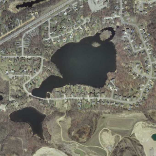

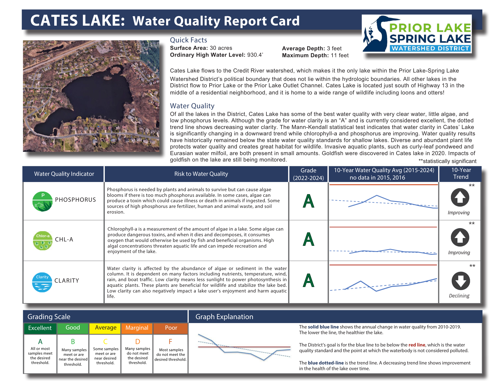
Cates Lake
DNR Lake Number: 70001800
Public Boat Access: No access
Quick Facts
Surface Area
30 acres
Ordinary High Water Level*
930.4 feet above sea level
Average Depth
3 feet
Maximum Depth
13 feet
Connectivity to other waterbodies
Intermittently flows out of the District into the Credit River Watershed
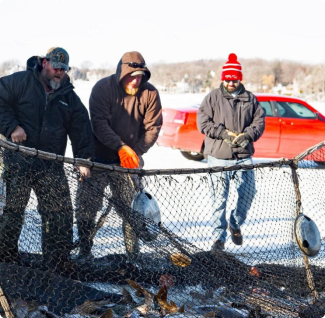
Aquatic Invasive Species
Curlyleaf pondweed, Eurasian watermilfoil
Interesting History
Cates Lake was named after Earl Cates when he had an 80 acre farm set up in lots. It was originally called Kneafsey’s Lake. Earl owned about 3/4 of the shoreline and the Ludowese farm bordered the east side. He purchased it in the late 1930’s for $2000. Old man Kneafsey had a little cabin on the hill above the cove. The only deep spot was in that little cove on the west end where the springs were. (Information from Earl’s son, Larry Cates via Kathy Dawson)
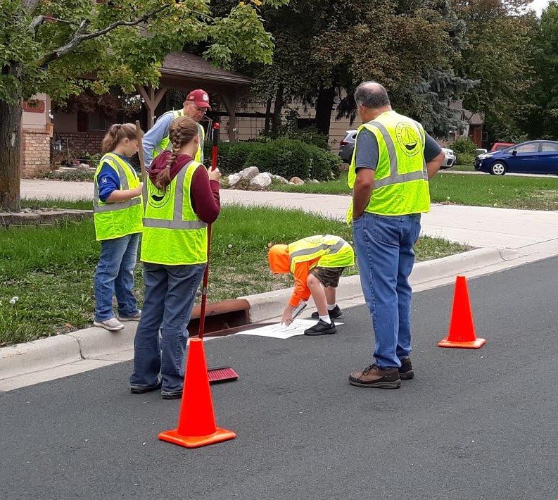
Water Quality
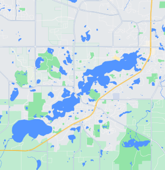
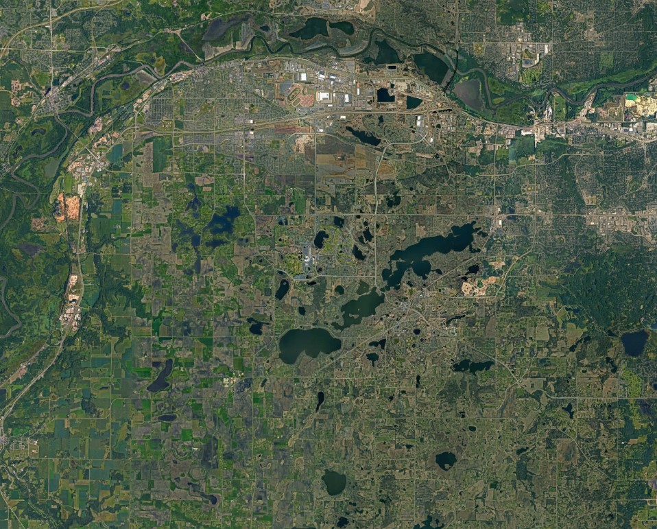
Maps