
Related Content
Find content from Prior Lake-Spring Lake Watershed District related to your topic.
The Prior Lake Outlet Channel pipe lining is complete News
One of the largest jobs ever undertaken by the PLSLWD was completed in May. The Prior Lake Outlet Channel (PLOC) pipe was lined using a Cured In Place Pipe (CIPP) method where no excavation along the pipe needed to be done.
Welcome Teresa Gostonczik to the PLSLWD News
Say hello to our newest employee, Teresa Gostonczik
The PLSLWD 2024 Annual Report News
The 2024 Annual Report of the PLSLWD is now available.
2024 Annual Report Document
2025 Approved Budget Document
2024 Approved Budget Document
New PLSLWD Office Hours News
Please note our new office hours: we are open Monday-Thursday 8:30-4:30pm, and on Friday by appointment. You can also call us at 952-447-4166 or email us at info@plslwd.org.
2023 Annual Financial Report Document
Water Quality Monitoring Sites Map Document
Soil Association Map Document
Surficial Geology Map Document
Recreational Resources Map Document
Public Waters Inventory Map Document
Pre-Settlement Vegetation Map Document
Municipal Urban Service Area Map Document
Municipalities Map Document
Future Land Use Map Document
Floodplain Map Document
Feedlot Map Document
Current Land Use Map Document
Bedrock Susceptibility Map Document
Bedrock Geology Map Document
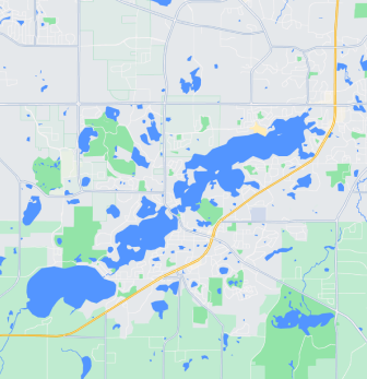
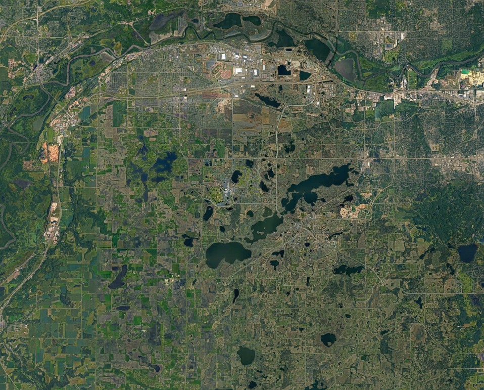
Prior Lake Outlet Channel Map Document
Subwatershed Map Document
PLSLWD/Scott Co Map Document
2024 Annual Report Document
2025 Approved Budget Document
2024 Approved Budget Document
2023 Annual Financial Report Document
Water Quality Monitoring Sites Map Document
Surficial Geology Map Document
Soil Association Map Document
Recreational Resources Map Document
Public Waters Inventory Map Document
Pre-Settlement Vegetation Map Document
Municipal Urban Service Area Map Document
Municipalities Map Document
Floodplain Map Document
Future Land Use Map Document
Feedlot Map Document
Current Land Use Map Document
Bedrock Susceptibility Map Document
Bedrock Geology Map Document
Prior Lake Outlet Channel Map Document
Subwatershed Map Document
PLSLWD/Scott Co Map Document
PLSLWD Boundary Map Document
District Map Document
2023 Annual Report Document
2023 Fish Lake Management Plan Document
Historical Ice In-Out Dates Document
The Prior Lake Outlet Channel pipe lining is complete News
One of the largest jobs ever undertaken by the PLSLWD was completed in May. The Prior Lake Outlet Channel (PLOC) pipe was lined using a Cured In Place Pipe (CIPP) method where no excavation along the pipe needed to be done.
Welcome Teresa Gostonczik to the PLSLWD News
Say hello to our newest employee, Teresa Gostonczik
The PLSLWD 2024 Annual Report News
The 2024 Annual Report of the PLSLWD is now available.
New PLSLWD Office Hours News
Please note our new office hours: we are open Monday-Thursday 8:30-4:30pm, and on Friday by appointment. You can also call us at 952-447-4166 or email us at info@plslwd.org.